US drone conducts reconnaissance over the Donbas
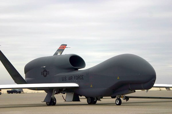
On Sunday, May 14, the US Air Force RQ-4A Global Hawk, a strategic unmanned aerial vehicle or UAV made a 10-hour reconnaissance flight along the line of demarcation in the Donbas, as evidenced by the data of Western websites monitoring the movement of military aircraft.
According to their information, a heavy US drone with call sign UAVGH000, which departed from US Naval Air Station Sigonella in Sicily, cruised for a day along the line of demarcation from north to south, collecting reconnaissance information, without crossing the line. The flight took place at an altitude of approximately fifteen thousand meters.
At some points, while flying over the territory of the Luhansk region, it approached the Russian borders in the Belgorod, Voronezh and Rostov regions at a distance of about 70-80 km, the reports say.
Taking into account the possibilities of conducting reconnaissance at a range of up to 300 km, the Global Hawk drone could observe the entire territory controlled by the separatists, as well as the border regions of Russia. In addition, it could see the actions taken by the Ukrainian Armed Forces.
According to open sources data, the UAV can patrol for 30 hours, flying at an altitude of 1.5 to 1.8 kilometers.
The flight route of the UAV after its departure from Italy ran over Greece, Bulgaria and Romania. The drone entered Ukraine airspace to the north from Moldovan territory. It continued its flight eastward over the Kirovograd and Dnipropetrovsk regions towards the Donbas.
The American drone makes reconnaissance flights over the Donbas nearly every month. It has also been used to detect and destroy militants in Libya with the help of its missile weapons. US strategic drones have regularly carried out reconnaissance flights in the Black Sea region since January 2015, including off the coast of the Crimea.